Environmental Remote Sensing Lab at the University of Rochester
Welcome to ERSeLab (Environmental Remote Sensing Lab). We develop and apply Earth-observing approaches to understand the carbon cycle and improve society’s ability to measure, attribute, and reduce greenhouse-gas emissions.
Our work spans the full pipeline—from satellite radiances to geophysical products to scientific inference. We combine atmospheric physics, machine learning, and uncertainty quantification to produce datasets and tools that are both scientifically rigorous and operationally useful.
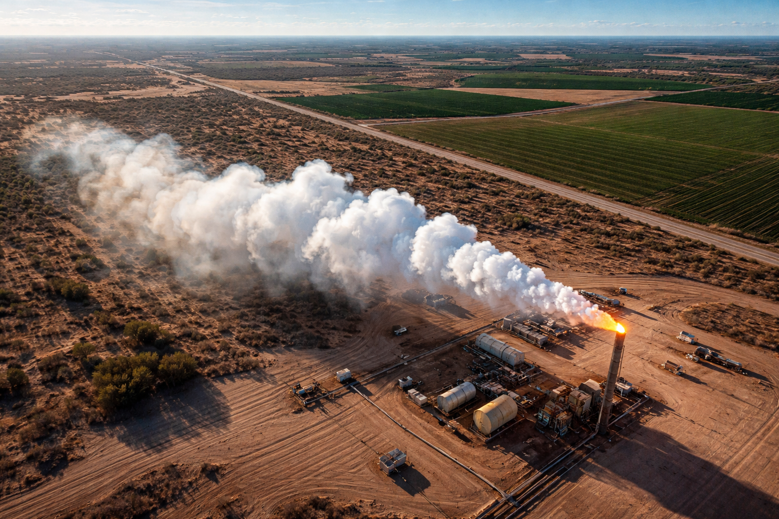
Methane Plumes
Detecting and characterizing methane point sources from satellite imagery.
CH₄ Detection Attribution
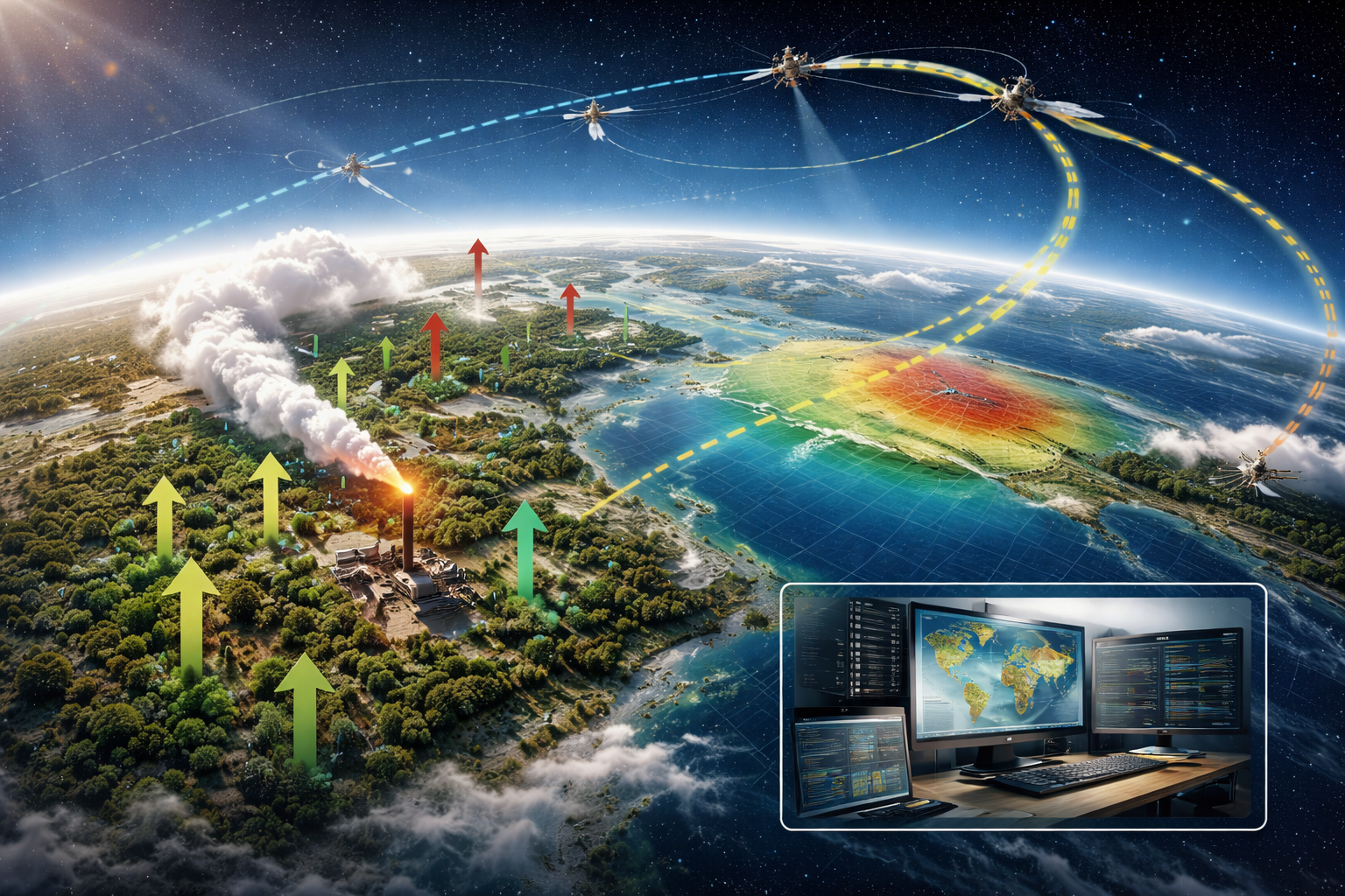
Carbon Inversion
Constraining carbon fluxes using atmospheric observations and inversion methods.
CO₂ Inversions Carbon cycle
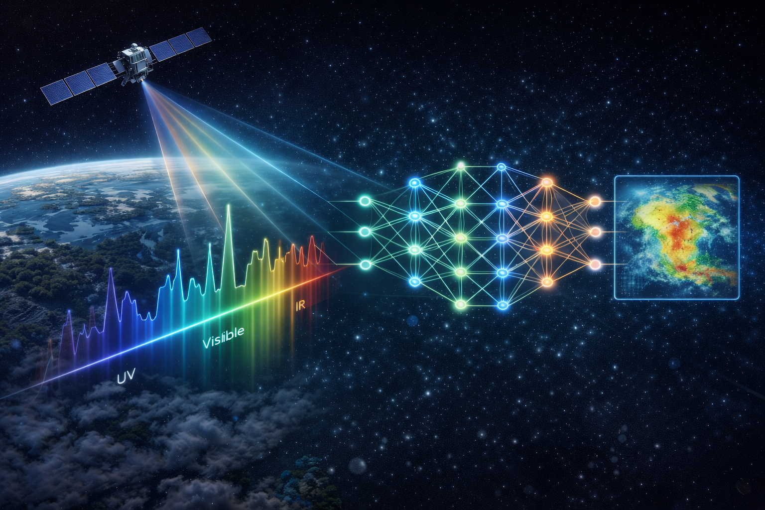
Retrieval Algorithms
Physics-informed and ML retrieval methods with transparent QA/QC and uncertainty.
Retrievals ML Uncertainty
What we work on
Remote Sensing
We improve the retrieval and validation of environmental variables like atmospheric CO₂, CH₄, and related trace gases and surface characteristics from satellite and airborne instruments, with a focus on accuracy, bias mitigation, and transparent uncertainty.
Carbon-cycle variability and feedbacks
We use atmospheric observations and models to study how carbon sources and sinks change across seasons and years—especially in regions where climate variability can strongly modulate fluxes.
Inference and attribution
We connect observations to processes and sources using inversion and data-assimilation approaches, aiming to turn measurements into actionable insight for science and climate mitigation.
Why it matters
Reliable greenhouse-gas information is foundational for understanding climate feedbacks, evaluating mitigation strategies, and building trust in emissions estimates. ERSeLab aims to make Earth observations more interpretable, more reproducible, and more impactful.
Explore ERSeLab
- Research — projects, methods, and focus areas
- Team — current members and collaborators
- Publications — papers, preprints, and releases
- Contact — collaboration and prospective students